

ANFET Editorial-September 12, 2025
Introduction
Recent imagery showing Dankalia — the southern tail of Eritrea — visually severed from the nation and attached to Ethiopia has stirred deep concern among Eritreans both at home and in the diaspora. While no official declaration of territorial change has been made by Ethiopia, such a depiction is not without significance. In geopolitics, maps are rarely neutral; they are potent instruments of narrative, influence, and preparation. The way a border is drawn — or redrawn — can shape perceptions, set agendas, and lay the groundwork for future claims.
Softening the Ground for Claims
Maps are powerful tools in shaping public perception. By repeatedly presenting a new “reality” — even in symbolic form — political actors can normalize it in the minds of domestic and international audiences. Once a visual alteration is accepted, it becomes easier to justify politically.
Testing Reactions
Displaying a disputed or altered border in a public forum can serve as a litmus test. Leaders may be gauging how the Eritrean public, the diaspora, and the international community respond. A muted or fragmented reaction could be interpreted as tacit acceptance, emboldening further steps.
Ethnic or Regional Narrative Framing
Dankalia is home to the Afar people, whose communities span both Eritrea and Ethiopia. By emphasizing a “shared homeland” narrative, Ethiopia could frame integration as a natural or even benevolent act — masking the strategic and sovereign implications.
Strategic Messaging to Allies and Rivals
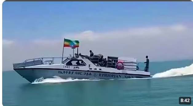
The Red Sea corridor is one of the most coveted maritime zones in the Horn of Africa. Even a symbolic claim over Dankalia sends a message to regional powers, global trade partners, and military actors: Ethiopia is positioning itself as a Red Sea stakeholder.
Why Eritreans Should Pay Attention
- Dankalia is not just a strip of land — it is a maritime lifeline, a cultural heartland for the Afar people, and a cornerstone of Eritrea’s southern defense.
- Unchallenged visuals can become “evidence” — once circulated without correction, they may be cited later as proof of a pre-existing understanding or claim.
- Silence can be costly — in the language of power politics, inattention is often read as consent.
Conclusion
The altered depiction of Dankalia is more than a cartographic curiosity — it is a potential prelude to a shift in territorial realities. Whether intended as a deliberate signal, a test of public reaction, or a step toward reframing the region’s identity, the implications are serious. Eritreans must remain vigilant, informed, and united in defending their sovereignty. In the contest over borders, the battle often begins not with troops on the ground, but with lines on a map.